About Rum Runners Trail
110-km multi-use rail trail from Halifax to Lunenburg along the old railway line, through salt marshes, woodlands and seaside villages.
Features & Highlights
Detailed Information
A 110-km Rail Trail from Halifax to Lunenburg
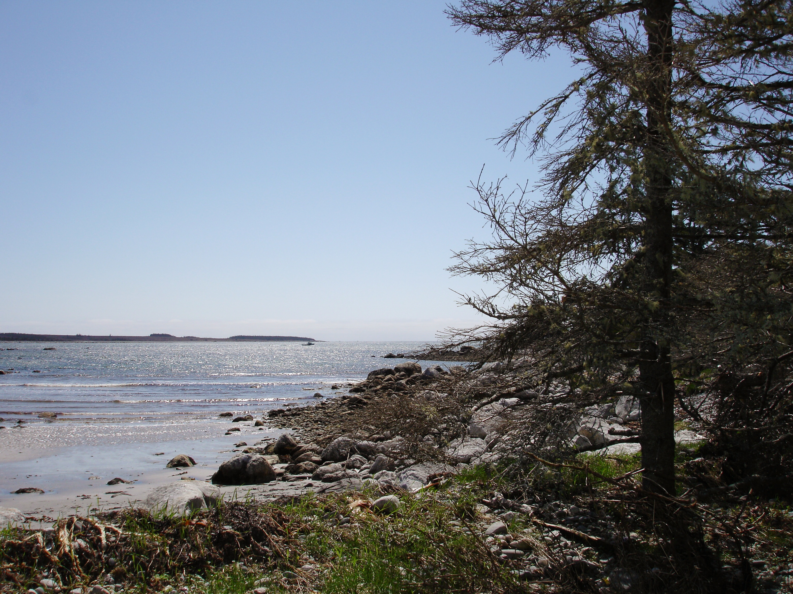
The Rum Runners Trail is a 110-kilometre multi-use rail trail that links Nova Scotia's capital, Halifax, with the UNESCO World Heritage town of Lunenburg, tracing the bed of the old Halifax and Southwestern Railway through some of the most picturesque coastline on the province's South Shore. Built on a decommissioned railway line, the trail takes its name from the Prohibition-era rum runners who moved contraband liquor through these same coastal communities in the 1920s and 1930s, smuggling Canadian whisky and Caribbean rum past revenue cutters along a shoreline of hidden coves and fishing villages.
Today the route is one of Nova Scotia's premier long-distance cycling trails — flat, well-surfaced, and almost entirely off-road, threading together salt marshes, woodlands, and a string of seaside communities that include Hubley, Upper Tantallon, Hubbards, Chester, Mahone Bay, and Blockhouse before arriving in Lunenburg.
Route Highlights and Key Sections
The trail is built from several connected sections, each with its own character:
- Beechville to Hubley — the eastern gateway, starting just outside Halifax and running through mixed forest and wetland toward the St. Margarets Bay area.
- Aspotogan Trail — a scenic stretch that curves toward the Aspotogan Peninsula, with glimpses of the Atlantic through the spruce and frequent stops at Hubbards.
- Chester Connection Trail — linking the main corridor to the historic sailing village of Chester, with its deep-water harbour and yacht club.
- Mahone Bay to Lunenburg — the final and most-photographed stretch, passing through two of Nova Scotia's most celebrated seaside towns.
Activities
Cycling is the most popular way to experience the Rum Runners Trail. The crushed-gravel surface suits hybrid, gravel, and mountain bikes, and the gradient never exceeds the modest grades a working railway once required, making it an easy, family-friendly ride end to end. The trail is also open to walkers and runners, and on most sections to horseback riders. In winter, stretches are used by cross-country skiers and snowshoers.
Practical Information
- Surface: Crushed gravel and compacted stone dust — rideable on hybrid or wider tires; skinny road tyres are not ideal.
- Difficulty: Easy. The rail-trail grade is gentle, with no sustained climbs.
- Distance: Roughly 110 km end to end, but it is commonly ridden in shorter segments. Chester and Mahone Bay both serve as convenient midpoints for day rides.
- Access points: Trailheads at Beechville (near Halifax), Hubbards, Chester, Mahone Bay, and Lunenburg.
- Amenities: Lodging, cafés, and bike-friendly services cluster in Chester, Mahone Bay, and Lunenburg, making multi-day trips straightforward.
A South Shore Tourism Corridor
What makes the Rum Runners Trail genuinely useful to visitors is the way it stitches together the South Shore's biggest draws. Rather than driving Highway 103 between Halifax and Lunenburg, a cyclist on the Rum Runners Trail can turn a 90-minute transit into a two- or three-day journey through the heart of Maritime Nova Scotia — past lobster shacks, lighthouses, and the brightly painted streetscapes that make the South Shore famous. For trip planning, it pairs naturally with a stop at Peggy's Cove, an overnight in Chester, and a full exploration day in Lunenburg.