About Roche St. Pierre Trail
Easy 0.8-km gravel trail in Comeau Hill leading to the legendary 1769 mass rock, where Bailly de Messein celebrated with the Mi'kmaq and Acadians, plus a sunset beach with change houses and a tiny wharf facing the Tusket Islands. Parking and washroom at the trailhead; free and year-round. 4.8 Google rating.
Features & Highlights
Detailed Information
The Roche St. Pierre Trail is a short walk with a long story. The trailhead sits at 2419 Comeau's Hill Road in Comeau Hill, on the coast between Yarmouth and Wedgeport, and the walk itself is easy: roughly 0.8 kilometres of linear gravel path, flat and family-friendly, ending at a sunset beach with change houses and a tiny wharf facing the Tusket Islands. What makes it worth the drive is the rock at the end of it — the legendary mass rock, where in 1769 the priest Charles-François Bailly de Messein celebrated with the Mi'kmaq and Acadians of this coast.
That date matters. 1769 is a handful of years after the deportation tore Acadian Nova Scotia apart, and the mass rock is physical evidence of the return — families praying in hiding and then in the open, on a shore that was rebuilding itself. Walk the trail with that in your head and the 0.8 kilometres change character: it is a processional route to a relic, maintained by the community that keeps the story.
The geography earns the visit even without the history. The beach at trail's end faces the Tusket Islands, the archipelago of fishing islands that strings out along this coast, and the sunsets here are the southwest shore's best theatre — the islands in silhouette, the boats coming home, the Fundy light going long. Change houses make an actual swim practical in summer; the tiny wharf keeps the working-waterfront frame in view. Parking and a washroom at the trailhead keep it simple.
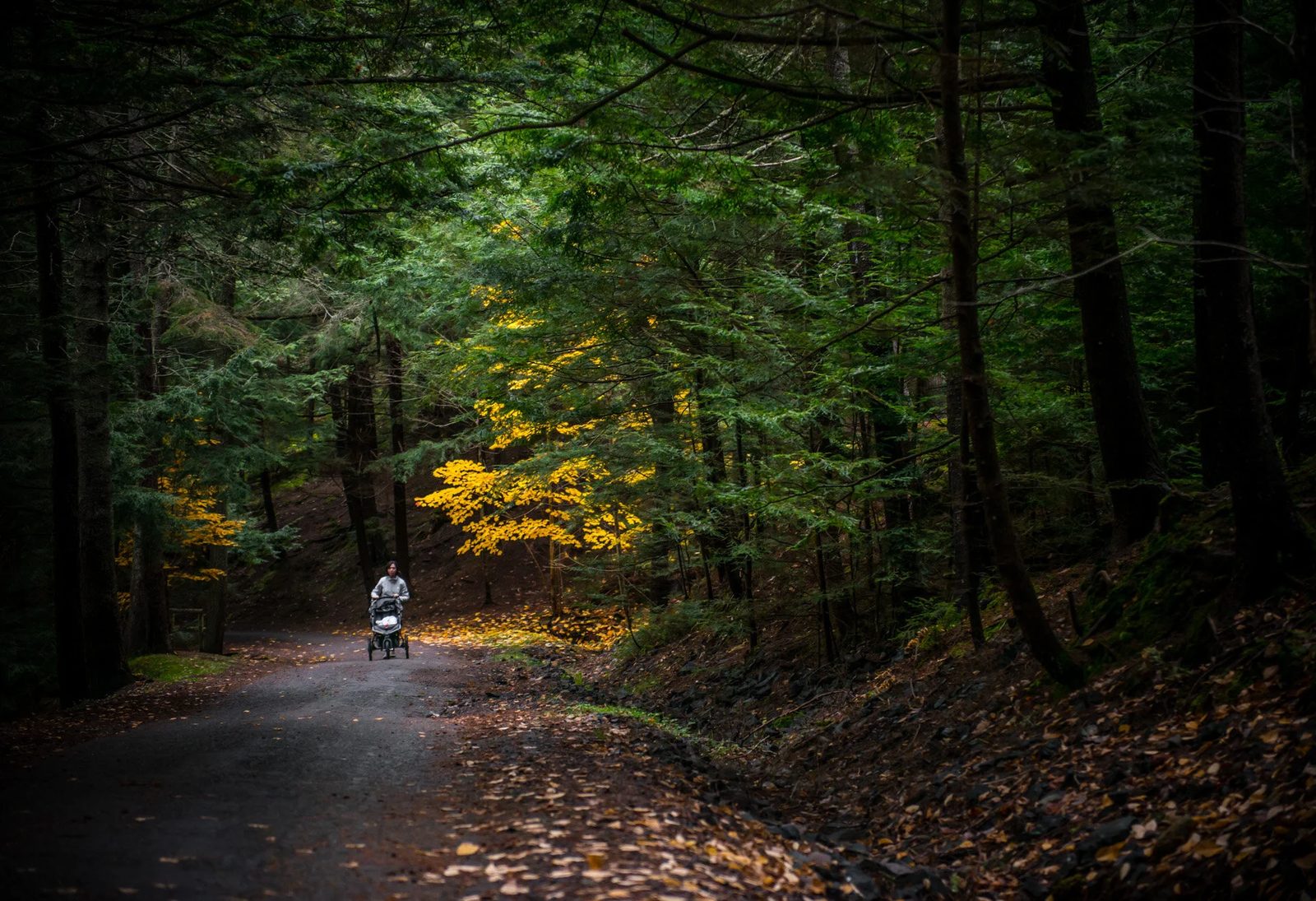
The walk itself deserves its own credit, because easy is a feature here rather than a compromise. At 0.8 kilometres each way on flat gravel, the trail is stroller-friendly, walker-friendly, and exactly right for the end-of-day crowd that arrives for the sunset without wanting a hike before it. Walk it out and back in well under half an hour at sightseeing pace, or linger at the beach end — the change houses, the little wharf, and the islands across the water give the evening somewhere to sit down. Visitors who want the full story of the rock should read up before arriving (our what is an Acadian guide covers the era), then let the site speak for itself.
Timing is the whole trick: arrive about an hour before sunset, walk out, and let the schedule set itself. In July that is a late dinner plan; in October it is a 5 o'clock mission. The trail is free and open year-round; out of season you will likely have the rock, the islands, and the whole sky to yourself.
Getting there: from Yarmouth, take Highway 3 to Arcadia, then Highway 334 toward Wedgeport for about 2 kilometres to Comeau's Hill Road, and follow the signs. The drive is under half an hour from the ferry terminal at Yarmouth, which makes the trail a clean first-or-last stop on any CAT ferry itinerary. See the Acadian Shore guide and the southwest Nova Scotia guide for the surrounding country, and the Bay of Fundy region page for the wider map.